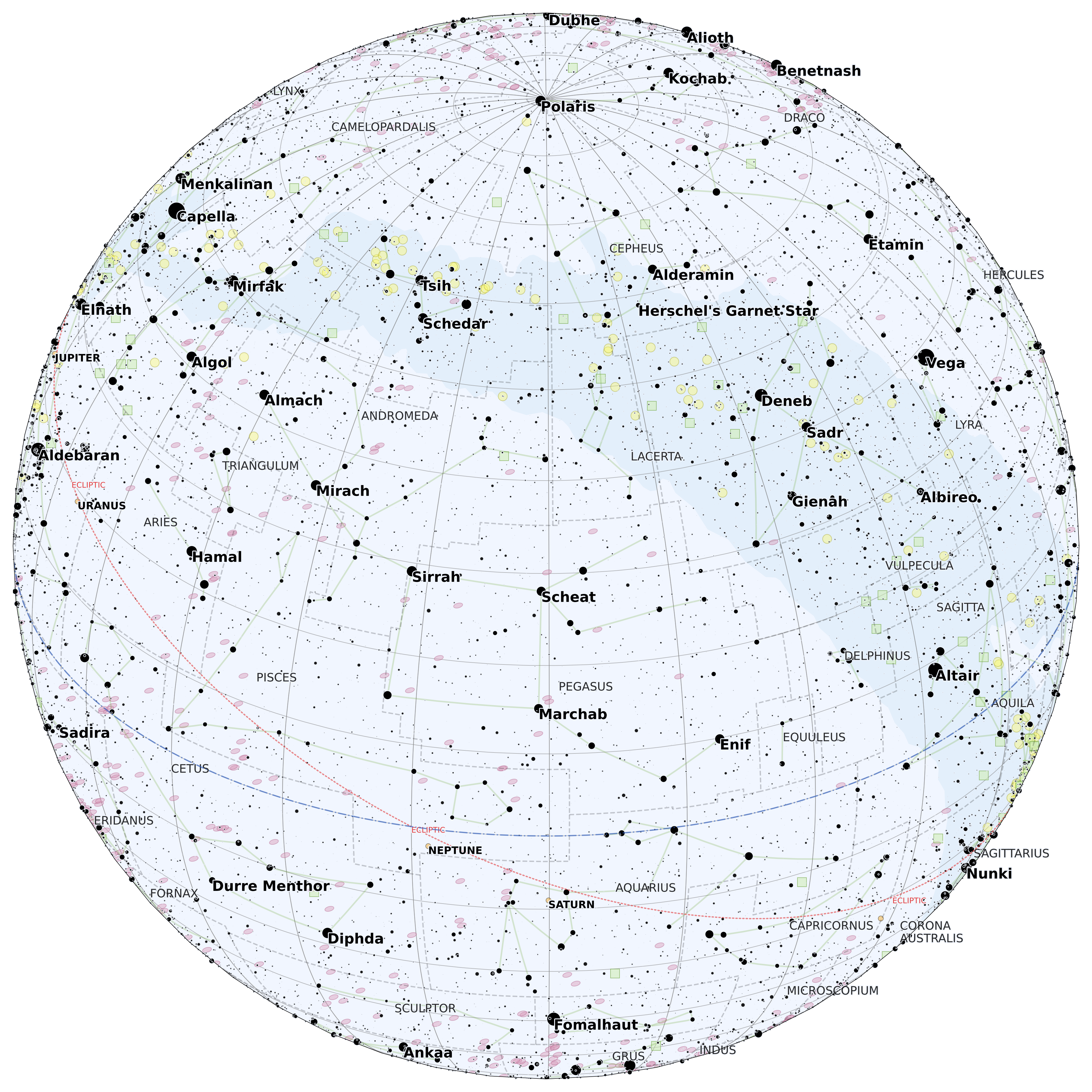
fromdatetimeimportdatetimefromzoneinfoimportZoneInfofromstarplotimportMapPlot,Orthographic,Observer,_fromstarplot.stylesimportPlotStyle,extensionsstyle=PlotStyle().extend(extensions.BLUE_MEDIUM,extensions.MAP,)tz=ZoneInfo("America/Los_Angeles")dt=datetime(2024,10,19,21,00,tzinfo=tz)observer=Observer(dt=dt,lat=32.97,lon=-117.038611,)p=MapPlot(projection=Orthographic(center_ra=observer.lst,center_dec=observer.lat,),observer=observer,style=style,resolution=2800,scale=0.86,# lower the scale since it shows a large area)p.gridlines(labels=False)p.constellations()p.constellation_borders()p.stars(where=[_.magnitude<7],where_labels=[False])p.open_clusters(where=[_.magnitude<12],where_labels=[False],where_true_size=[False],)p.galaxies(where=[_.magnitude<12],where_labels=[False],where_true_size=[False],)p.nebula(where=[_.magnitude<12],where_labels=[False],where_true_size=[False],)p.ecliptic()p.celestial_equator()p.milky_way()p.export("map_orthographic.png",padding=0.3,transparent=True)