Projections
Map plots support a variety of projections, which are methods for flattening the curved, three-dimensional surface of a sphere (in Starplot, that's the sky) onto a two-dimensional flat surface like paper or a computer screen. Every projection is imperfect in some way because something will always be distorted.
Projections in Starplot are ultimately handled by PROJ (via pyproj), but Starplot has thin wrappers for each projection that let you customize a few properties (e.g. central RA/DEC).
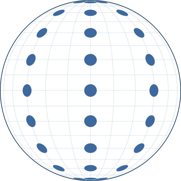
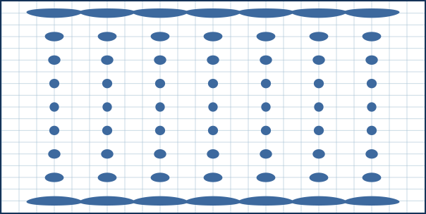
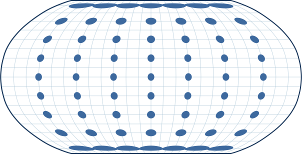
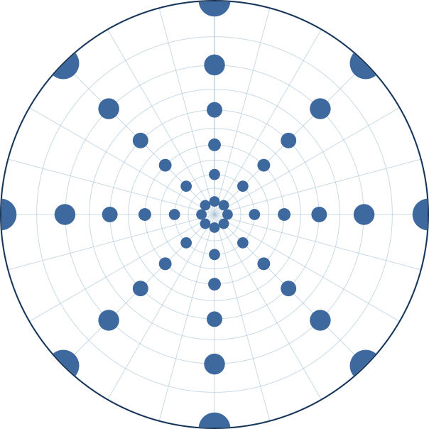
Below is a list of all projections supported by map plots, along with a Tissot's indicatrix for each projection to illustrate how it distorts objects:
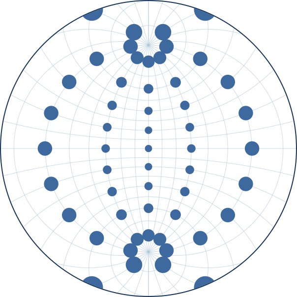
Equidistant
Shows accurate distances from the center position. Often used for planispheres.
- center_ra
- center_dec
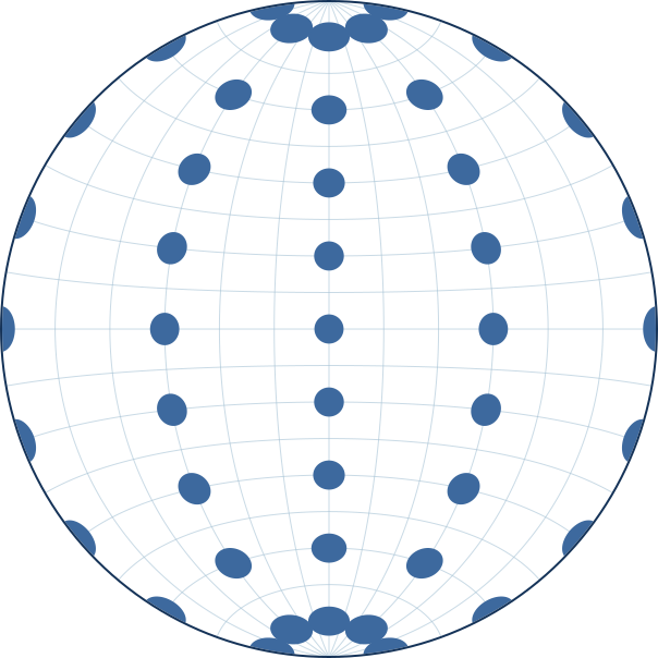
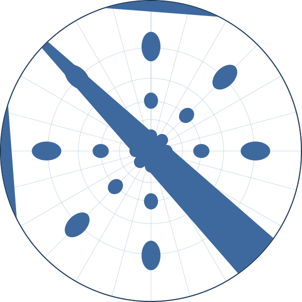
LambertAzEqArea
Lambert Azimuthal Equal-Area projection - accurately shows area, but distorts angles.
- center_ra
- center_dec
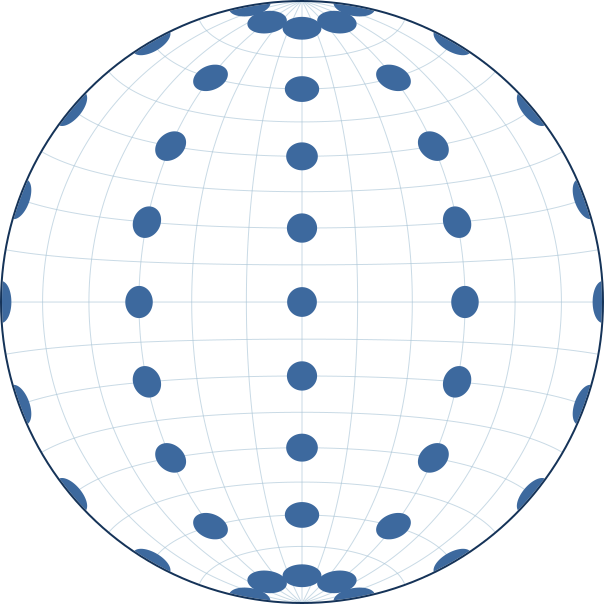
Mercator
Good for declinations between -70 and 70, but distorts objects near the poles
- center_ra
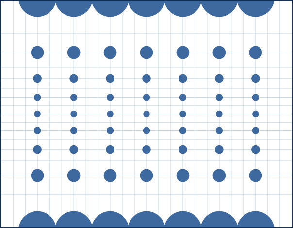
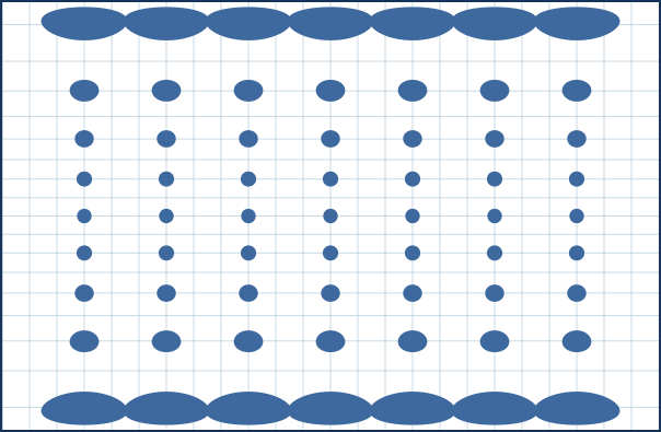
Miller
Similar to Mercator: good for declinations between -70 and 70, but distorts objects near the poles
- center_ra
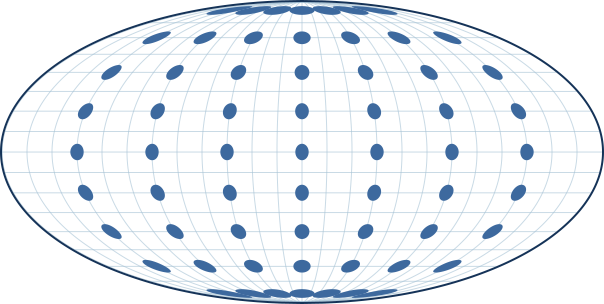
Mollweide
Good for showing the entire celestial sphere in one plot
- center_ra
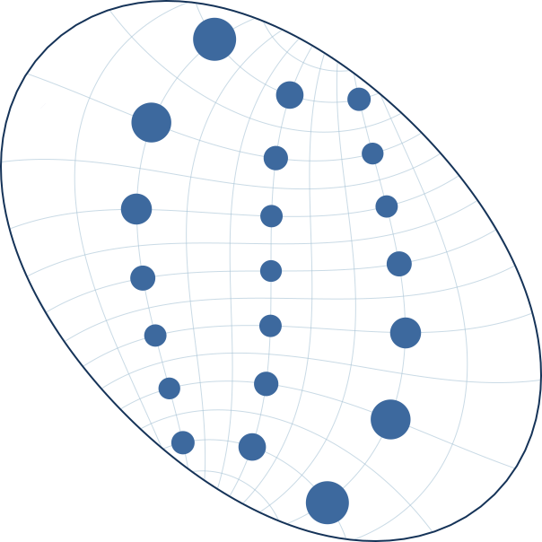
ObliqueMercator
A cylindrical projection like Mercator, but the "cylinder" is wrapped around a specified great circle instead of the equator — you set that circle with center_ra/center_dec (a point on it) and azimuth (its direction there). This makes it useful for framing a narrow band of sky that runs at an angle to the RA/DEC grid — e.g. tracing the Milky Way's galactic plane, an eclipse path, or a satellite ground track — with low, Mercator-like distortion right along that line and shapes/angles preserved locally (it's conformal).
- center_ra
- center_dec
- azimuth
Orthographic
Orthographic projection - shows the sky as seen from an infinite distance, like a view of the globe.
- center_ra
- center_dec
Robinson
Good for showing the entire celestial sphere in one plot
- center_ra
StereoNorth
Good for objects near the north celestial pole, but distorts objects near the mid declinations
- center_ra
- center_dec
StereoSouth
Good for objects near the south celestial pole, but distorts objects near the mid declinations
- center_ra
- center_dec
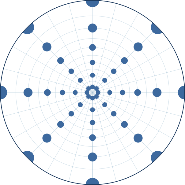
Stereographic
Similar to the North/South Stereographic projection, but allows custom central declination
- center_ra
- center_dec